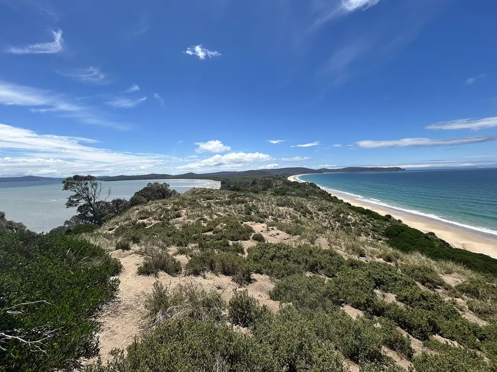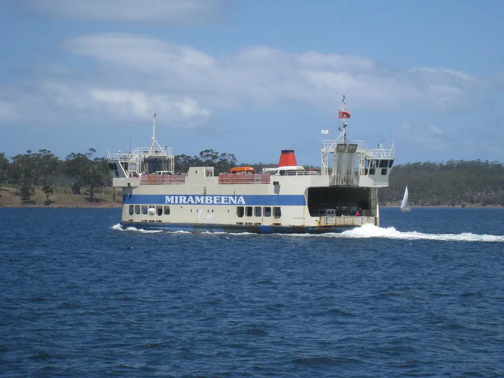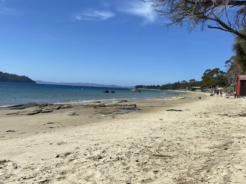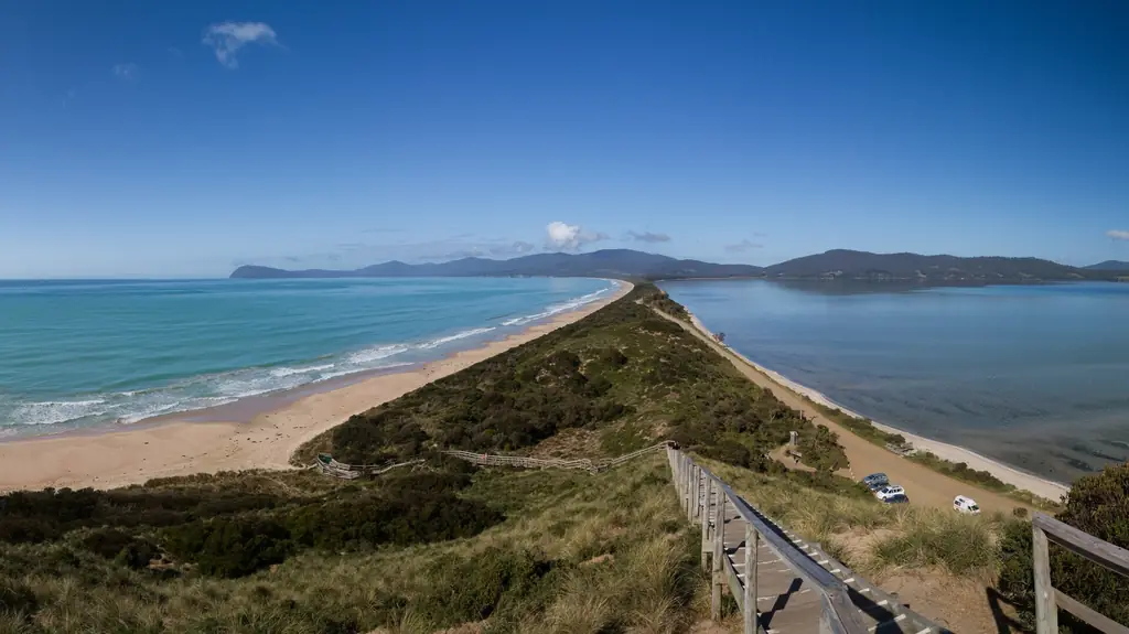
Bruny Island is really two islands — North Bruny and South Bruny — joined by a narrow sandy isthmus called The Neck. The ferry lands at Roberts Point on North Bruny. Most of the famous sights are on South Bruny.
Key places, north to south
- Dennes Point — northern tip; beaches and a café. See Dennes Point.
- Roberts Point — ferry terminal.
- Great Bay — cheese, oysters and whisky producers along the main road. See cheese and oysters.
- The Neck — lookout and penguin rookery. See The Neck.
- Adventure Bay — South Bruny’s main settlement, cruises and walks.
- Alonnah and Lunawanna — small settlements on the west coast.
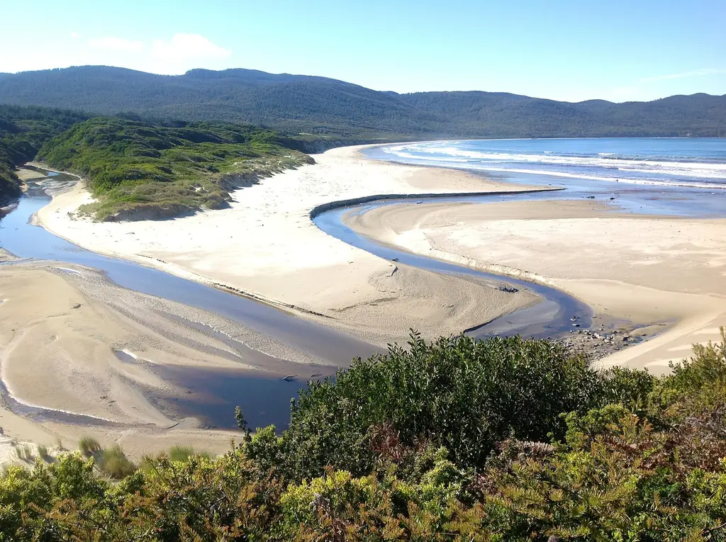
- Cloudy Bay and Cape Bruny Lighthouse — in South Bruny National Park.
Approximate driving times
| From | To | Approx. time |
|---|---|---|
| Roberts Point | Great Bay producers | 15–20 min |
| Roberts Point | The Neck | 25 min |
| The Neck | Adventure Bay | 15 min |
| Adventure Bay | Cape Bruny Lighthouse | 40–50 min |
| Lunawanna | Cloudy Bay | 20 min (gravel) |
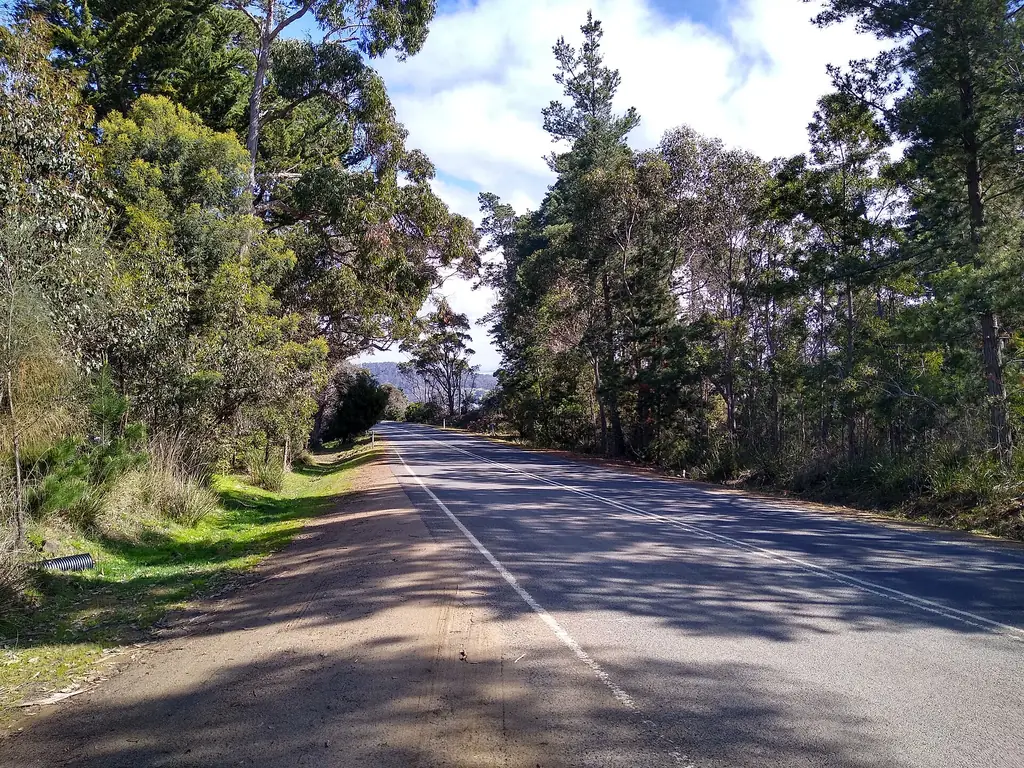
Several roads in the south are unsealed. Drive slowly and watch for wildlife, especially at dusk.
Planning a route
Most day visitors follow a simple line: ferry, Great Bay producers, The Neck, Adventure Bay, then on to the lighthouse and back. If you are staying longer, split the island in two — North Bruny and Adventure Bay on one day, the far south and Cloudy Bay on another. Download an offline map before you go, as mobile coverage is patchy in the south.
Frequently asked questions
Is Bruny Island one island or two?
Two landmasses, North and South Bruny, joined by The Neck.
How long does it take to drive around Bruny Island?
Allow a full day to reach the main highlights; distances are short but roads are slow.
Are Bruny Island roads sealed?
The main road is largely sealed; many roads in the south are gravel.
Where is the ferry terminal on Bruny Island?
At Roberts Point on North Bruny.