South Bruny National Park protects much of the southern coastline of Bruny Island. It is managed by Parks and Wildlife Service Tasmania, and a National Parks Pass is required to enter.
Key areas
Fluted Cape
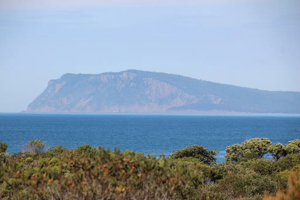
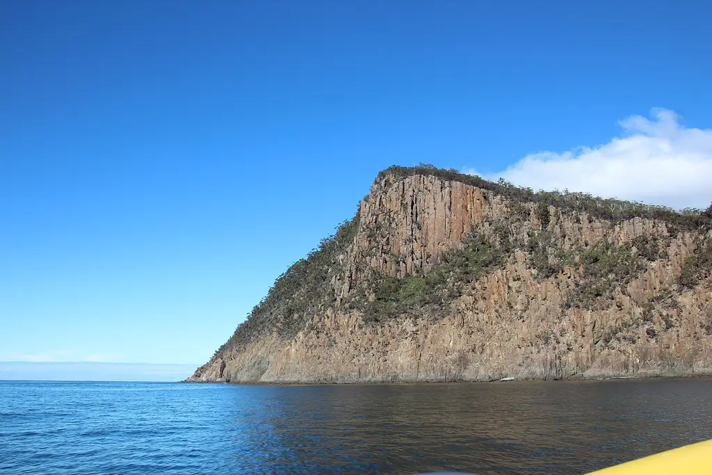
Rising above the south end of Adventure Bay, Fluted Cape’s dolerite cliffs drop sheer into the sea. A walking track climbs to the cliff top. Walks.
Labillardiere Peninsula
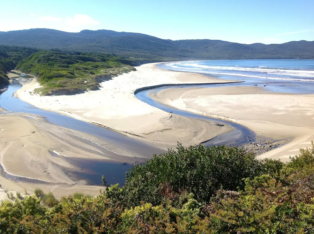
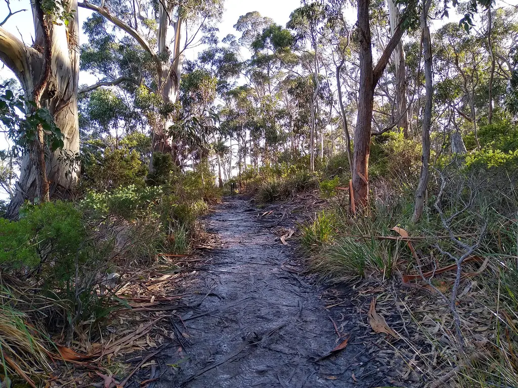
A wild peninsula on the western side of the park, with a long circuit walk through heath and woodland to secluded coves. Jetty Beach campground sits nearby.
Cloudy Bay
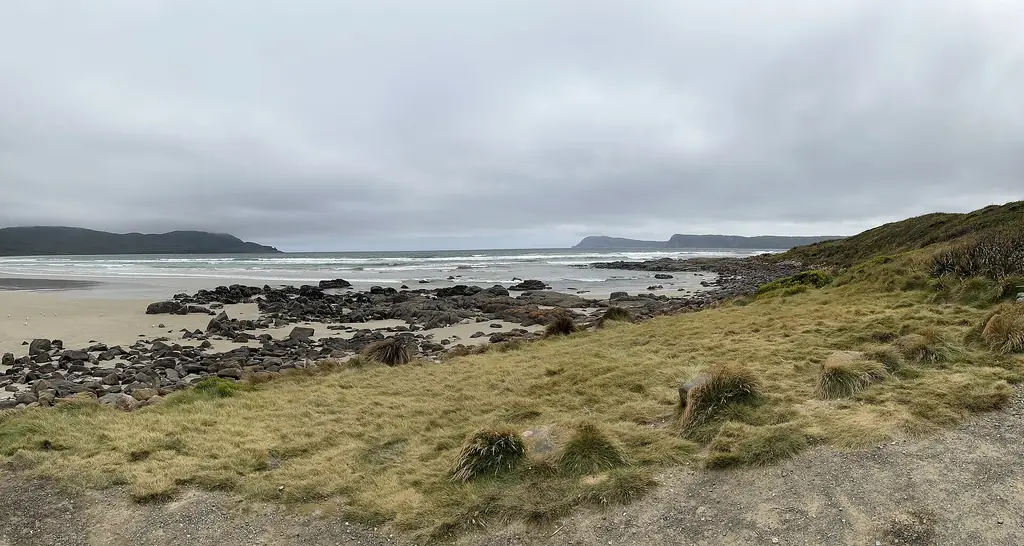
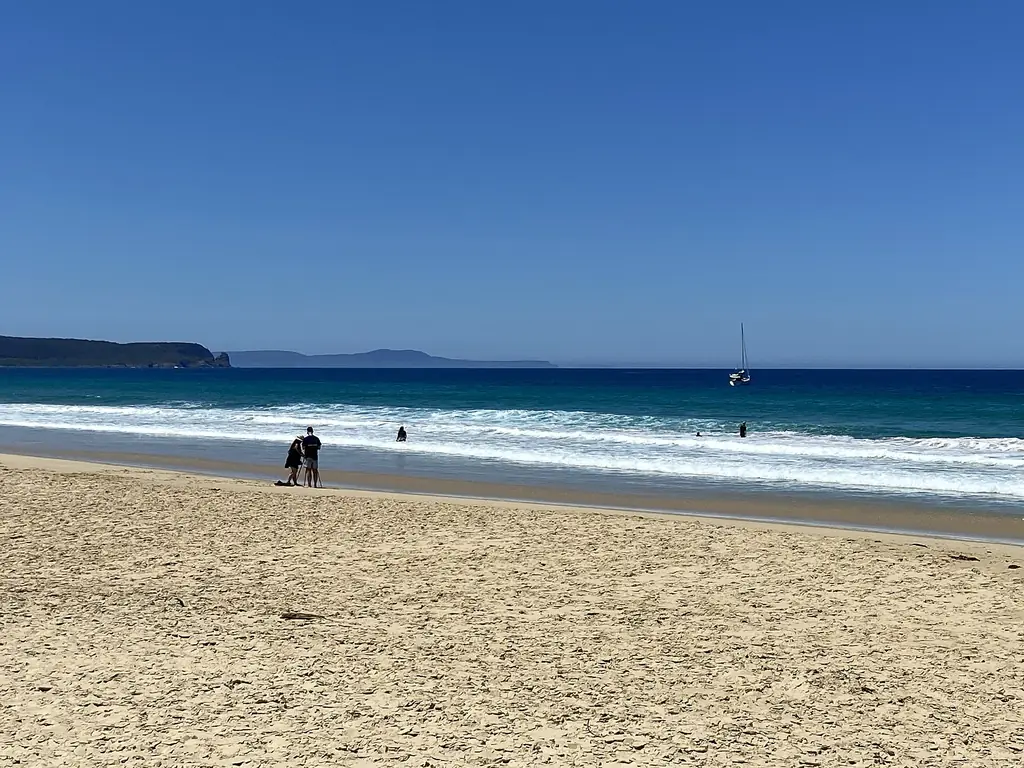
A sweeping surf beach facing the Southern Ocean, with Cloudy Corner campground at its eastern end. Cloudy Bay.
Cape Bruny
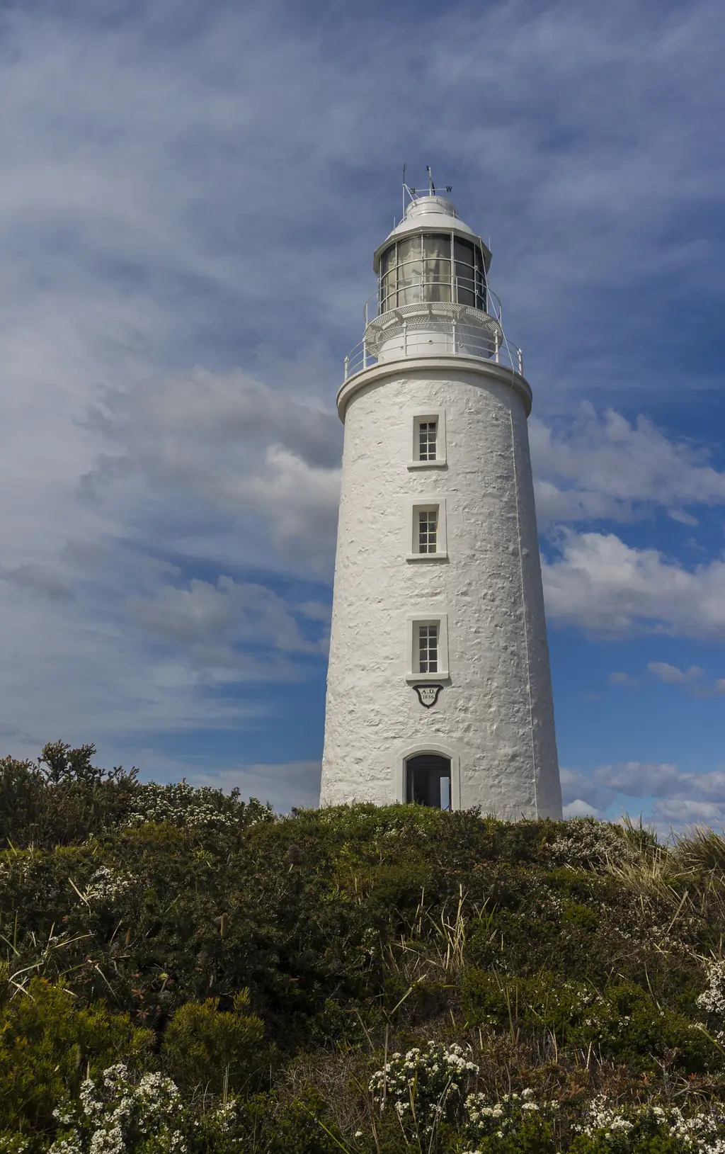
The southern tip of the island and home to the historic lighthouse. Lighthouse.
Parks passes
Buy a pass online from Parks and Wildlife Service Tasmania before you visit. Daily and longer-duration passes are available; if you plan to visit several Tasmanian parks, a longer pass is usually better value.
Safety
- Weather changes quickly — carry warm and waterproof layers.
- Stay well back from cliff edges.
- Cloudy Bay has strong surf and rips; it is not patrolled.
- Carry water and tell someone your plans for longer walks.
Seeing the park from the water
The wilderness cruise runs along the park’s eastern coastline, showing the cliffs and sea caves from below.