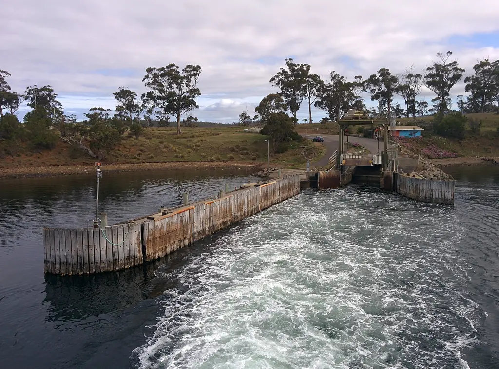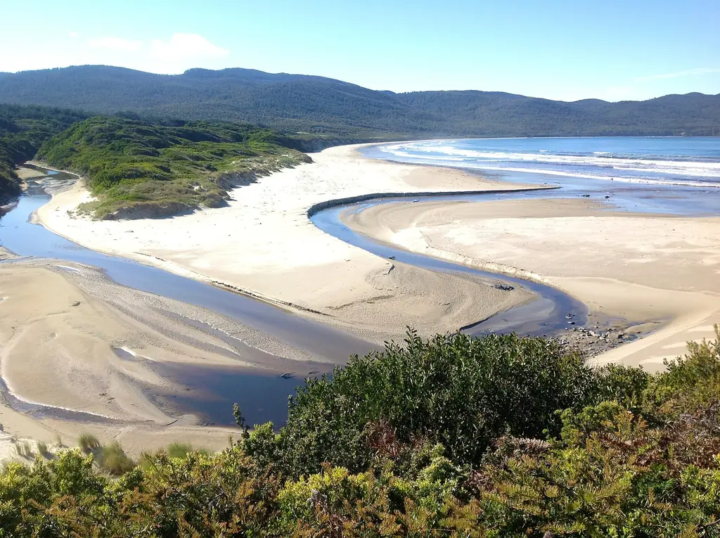
Most visitors explore Bruny Island by car. The main road runs from the ferry at Roberts Point south across The Neck to Adventure Bay, with branches to Alonnah, Lunawanna, Cloudy Bay and Cape Bruny.
Road conditions
- Sealed: much of the main road between the ferry, The Neck and Adventure Bay.
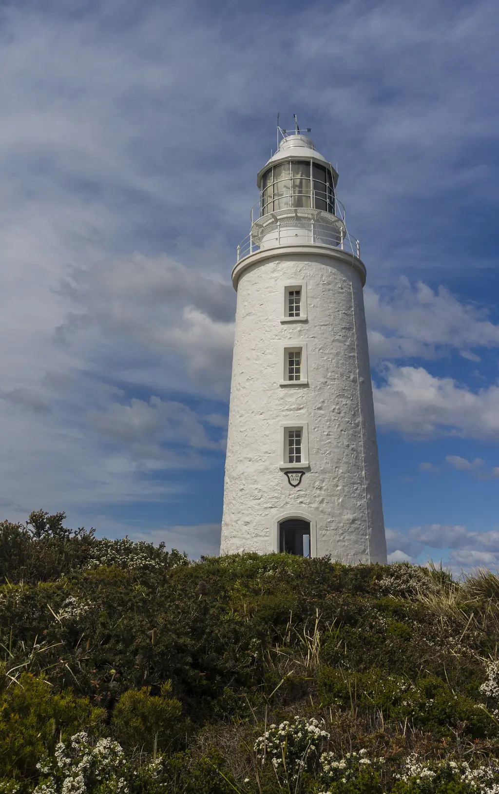
- Gravel: large sections elsewhere, including the road to Cape Bruny Lighthouse and parts of the route to Cloudy Bay. Gravel roads can be corrugated, dusty in summer and slippery after rain.
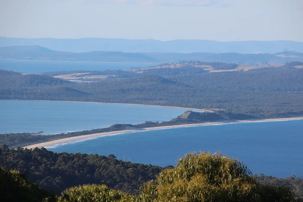
- Beach driving: some visitors drive Cloudy Bay beach to reach Cloudy Corner campground, but conditions vary with tides and sand. Only attempt it with a suitable 4WD and experience.
Approximate driving times
| From | To | Approx. time |
|---|---|---|
| Roberts Point ferry | The Neck | 25–30 min |
| The Neck | Adventure Bay | 15 min |
| Adventure Bay | Alonnah | 20 min |
| Alonnah | Cape Bruny Lighthouse | 40–45 min |
| Lunawanna | Cloudy Bay | 20–25 min |
| Roberts Point | Dennes Point | 15 min |
Times are indicative for careful driving; allow more in wet weather.
Hire cars
Many rental companies restrict driving on unsealed roads or taking cars on ferries. Read your agreement before you visit Bruny. Some travellers choose a guided tour to avoid the issue.
Fuel and supplies
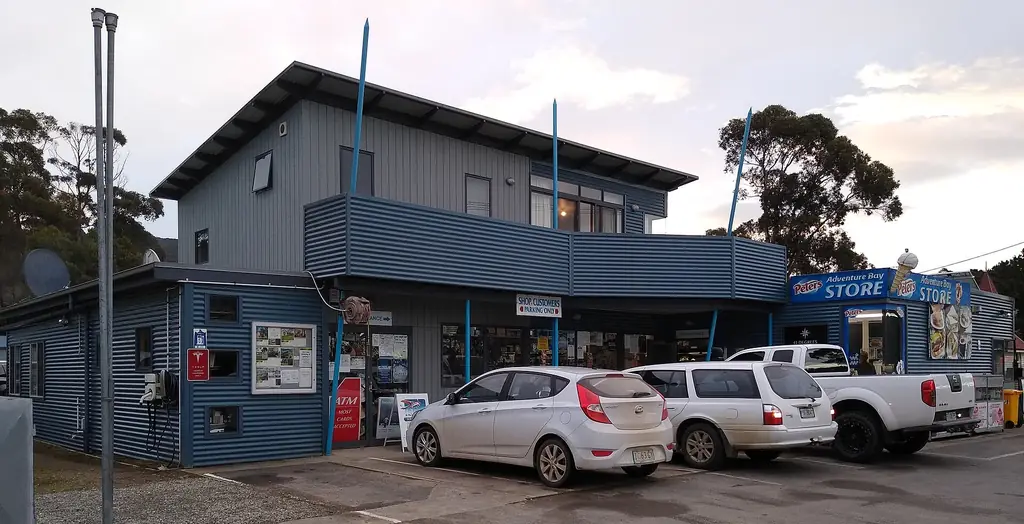
Fuel is available on the island but limited. Fill up before the ferry. Stores in Adventure Bay and Alonnah carry basics.
Wildlife on the road
Wallabies, pademelons, possums and echidnas are common, especially around dawn and dusk. Slow down, avoid driving at night where possible, and never feed animals.
Mobile coverage
Coverage is reasonable in settlements and along the main road but patchy in parts of the national park. Download offline maps before you go.
Driving tips for gravel roads
- Reduce speed, especially on corners and crests.
- Keep left — gravel roads are often narrow.
- Turn on headlights in dust so oncoming drivers can see you.
- Avoid sudden braking or steering.